Hillsdale Lake
16 mi south · US Army Corps of Engineers
Managed by the Kansas State Park System, Hillsdale offers camping, fishing, boating, hunting, hiking, equestrian trails, and relaxation within 40 minutes of the Kansas City Metropolitan Area.
Outdoors
Campgrounds and camping areas near Olathe on federal land, with which ones take reservations on Recreation.gov.
Good to know: Popular campgrounds book up months ahead on Recreation.gov; first-come sites fill early on weekends and holidays.
16 mi south · US Army Corps of Engineers
Managed by the Kansas State Park System, Hillsdale offers camping, fishing, boating, hunting, hiking, equestrian trails, and relaxation within 40 minutes of the Kansas City Metropolitan Area.
20 mi east · US Army Corps of Engineers
This recreation area is part of Blue Springs Lake
28 mi east · US Army Corps of Engineers
Blue Springs is a 720 acre lake located in Blue Springs and Lee's Summit Missouri. There are 6 picinic shelters, swimming beach, primitive bicking/hicking trails and marina. Blue Springs is operated Jackson County Parks and Recreation.
Map of 32 places loads as you scroll.
Managed by the Kansas State Park System, Hillsdale offers camping, fishing, boating, hunting, hiking, equestrian trails, and relaxation within 40 minutes of the Kansas City Metropolitan Area.
This recreation area is part of Blue Springs Lake
Blue Springs is a 720 acre lake located in Blue Springs and Lee's Summit Missouri. There are 6 picinic shelters, swimming beach, primitive bicking/hicking trails and marina. Blue Springs is operated Jackson County Parks and Recreation.
Located close to beautiful and historic Lawrence and the University of Kansas, the lake offers camping, boating, fishing, hunting, over 50 miles of hiking, equestrian and mountain bike trails, 18-hole golf course, model airplane airport…
This day-use picnic area, located just north of Clinton Lake in the hills of Kansas, is the perfect spot for a party or family gathering.
Bloomington East Park includes Cedar Ridge, Hickory/Walnut, and Oak Campgrounds, Ash and Elm Group Camps, and Bloomington Beach Picnic Shelters.
Rockhaven Park is located on the south side of Clinton Lake, west of the Dam on the Rock Creek Arm of the lake.
Woodridge Park has 450 acres for hiking and primitive, walk-in camping. Tent camping is allowed throughout the park and along the 4.5 mile George Latham hiking trail. Campfires are allowed at designated locations only.
Perry Park is a recreational day use area, situated near the dam on the south end of Perry Lake.
Located conveniently near the cities of Topeka, Lawrence, and Kansas City, Perry Lake boasts a wide variety of recreational opportunities.
Slough Creek Campground is situated on Perry Lake in the lush Kansas forest. As the largest and most popular recreation area at the lake, Slough Creek is an ideal destination for family camping trips.
Within 30 minutes of downtown Kansas City, this 7,190-acre lake offers city and county operated water-related recreation facilities including a regional visitor center and an 36-hole golf course.
This recreation area is part of Smithville Lake
Longview Campground is situated on Perry Lake in the lush Kansas forest, offering peaceful, family-oriented camping. Longview offers families the chance to camp together in a group camp setting overlooking the lake.
***WATER WILL NOT BE AVAILABLE DURING THE NON-PEAK SEASON. WATER AT ALL CAMPSITES, SHOWER BUILDINGS AND DUMPSTATIONS WILL BE TURNED OFF.
Michigan Valley Campground is located in eastern Kansas on the shores of Pomona Lake. The scenic park appeals to family campers, sportsmen and water sport enthusiasts.
Outlet Campground is located along 110 Mile Creek in eastern Kansas at Pomona Lake. The scenic park appeals to family campers, sportsmen and water sport enthusiasts.
Located near the Santa Fe Trail, this 4,000-acre lake features scenic beauty as well as an abundance of wildlife. From Topeka, 24 miles South on US 75, 7 miles East on KS 268.
Wolf Creek Campground is located a few miles west of Pomona Dam Road on the north side of the Pomona Lake in eastern Kansas. The scenic park appeals to family campers, sportsmen and water sport enthusiasts.
Carbolyn Park is located in eastern Kansas along Dragoon Creek, just east of Pomona Lake. The scenic park appeals to family campers, sportsmen and water sport enthusiasts.
Melvern Lake is situated on the eastern edge of Kansas' Flinthills Region. It draws outdoor enthusiasts from a wide range of disciplines. Melvern Lake covers approximately 7,000 acres of water and 18,000 acres of land open for public use.
Outlet Campground is situated below the Melvern Lake Dam on the eastern edge of the Flint Hills of Kansas. Visitors enjoy the area's wide range of recreational activities, including boating, fishing, hiking and hunting.
Sightseers will enjoy the Flint Hills Wildlife Refuge. Enjoy wandering old Indian grounds.
Located adjacent to the Lake of the Ozarks, Truman features excellent fishing, a regional visitor center and powerplant exhibit area. Rugged hills, scenic bluffs, hardwood forest and prairie offer some of the best scenery in the State.
The lake was named for the nearby town of Council Grove, the birthplace of the Santa Fe Trail and a National Historic District.
Situated in the scenic Flint Hills, Tuttle Creek Lake provides 12,500 surface acres of water and 100 miles of shoreline, making it the second largest lake in Kansas.
Kansas' only granite outcrop is located here, at the scene of a short-lived gold rush in 1887.
A popular lake in the scenic Missouri Ozarks.
Cool, clear spring waters make this lake the "Gem of the Ozarks."
Flowers, birds and game enhance this project in rolling prairie country. The 10,900-acre Fall River Game Management Area is located here.
The Milford Education Center and Fish Hatchery are located below the dam. From Topeka, 65 mi W on I-70, 5 mi N on US77, 2 mi W on K-57 hwy.
to Kansas' "Little Ozarks"! Located 5 miles east of Cherryvale, Kansas. Five beautiful park areas are offered by the Corps of Engineers for camping, picnicking, and other outdoor activities.
Distances are straight-line miles from downtown Olathe. Listings come from Recreation.gov’s federal recreation database; check each official page for hours, fees, fire restrictions and closures before you go.
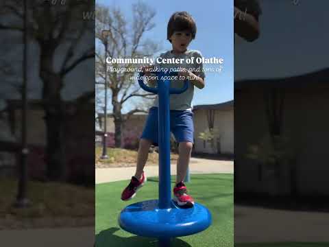
THINGS TO DO · YOUTUBE SHORT
A local activity Short shared by Kristen.
Watch on YouTube ↗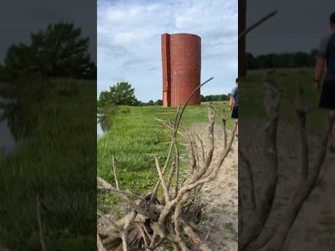
THINGS TO DO · YOUTUBE SHORT
A local activity Short shared by Travel Cindy.
Watch on YouTube ↗Hillsdale Lake (US Army Corps of Engineers), about 16 miles south of Olathe as the crow flies. Next are Longview Campground (20 mi) and Blue Springs Lake (28 mi).
Based on Olathe’s average highs, March–June, September–November. Conditions at higher elevations can be much cooler.
13 of the 32 places listed here take reservations on Recreation.gov; others are first come, first served.
Federal agencies including US Army Corps of Engineers. Each listing links to its official page for hours, fees, closures and current conditions.